Take a map of your area... by Sombrero Guy
April 13th, 2010 3:48 AM / Location: 50.736020,-1.844844I live in quite an interesting location. To the East is Littledown, a posh, expensive area; to the West is Springbourne, a somewhat less desirable place, according to estate agents when we were looking for a house here. To the North is Queen's Park, another expensive area around a golf course; to the South is Boscombe, and the less said about that, the better, according to anyone who doesn't live around there.
And I live right in the middle. Halfway between greatly contrasting areas.
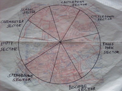
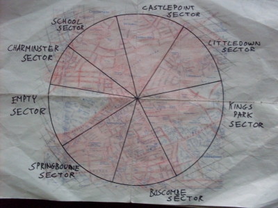
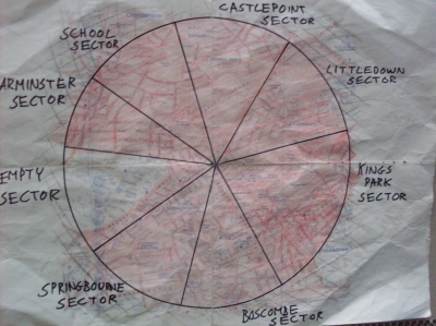
In the context of this task, I had to decide what counted as 'my area'. As there are no natural boundaries I can use, and as the various parts of Bournemouth tend to merge into each other, I simply took a circle with a 1 mile radius around my house. I shaded the parks and streets I knew in red, and where I knew a whole block, filled it in. I split it into different sectors, so that each time I went out to explore my area I had a clear goal of filling in one sector. As it turned out, most sectors took a good 2-3 hours to get around.

Below, my expeditions are set out in the order in which I took them. I was surprised by how much of the area so close to my house I didn't know, and by some of the more unexpected things I found. It was strange to find some rather large and important things I'd not known about the area I live in.
I imagine this must be quite a boring praxis to read through. Many of my photos are of normal, everyday streets and sights. The differences that can be seen in this small area, though, are quite striking, and that is, perhaps, where more interest lies. In my little circle of Bournemouth, there is massive variety and diversity. Anyone with enough time to waste can look through all the photos, and read my notes in full. For those of you who can't be bothered (because there are quite a lot of them), I have picked out highlights from each sector to put in the main praxis. Welcome, then, to a guided tour of my area.
Littledown Sector
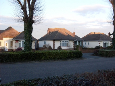
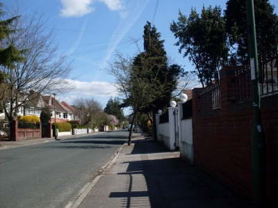
Littledown is quite an expensive area. Most housing is in the form of large detatched homes. There are individual designs, bungalows and estates.
Highlights include:
An emergency services rendezvous point

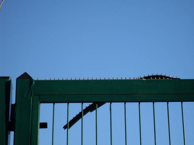
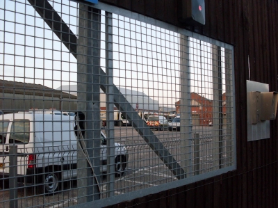
Prison-style security on school gates

An alien spaceship in disguise as a house

A sock on a wall

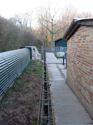
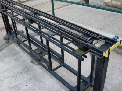
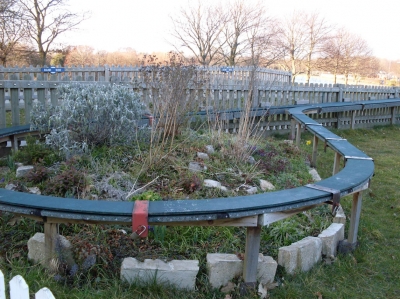
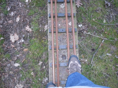
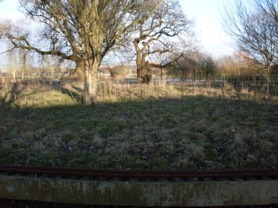
An abandoned miniature railway


Rubbish security


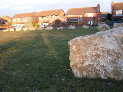
Anti-traveller boulders


After this first outing, almost the entire Littledown Sector was shaded red.

Springbourne Sector
Springbourne is a more run-down area. There are small houses in terraces and council flats. Despite this, it still has a lot of nice parts and is in general not as bad as everyone says. I knew almost none of this sector before this exploration, and almost got completely lost at one point.
Highlights include:
Springbourne Christian Centre, a nice building

A road that chose its name very well

An empty factory, possibly once used in the making of lemonade, although that is almost a complete stab in the dark.


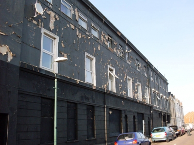
Peeling paintwork

St Clements Church


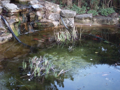
An unexpected green haven amidst the urban environment

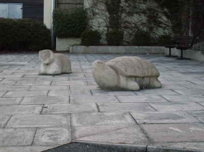
A stone turtle

A business park I never knew existed

After this second outing, the map was looking satisfyingly more red than before.

School Sector
This sector contains my route to school; my daily pilgrimage. As such, I knew quite a bit of this sector already, so it wasn't going to take very long to fill in. When I finally had a free period and it wasn't raining, I ventured out of school for an hour to look around.
Highlights include:
Mud

Trees


Some useful paths


Upper class snobbery

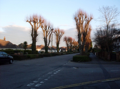
Peaceful roads and avenues


After this outing, the whole school sector was now red.

Castlepoint Sector
This sector is named for the large shopping complex which lies just to the north of the 1 mile boundary. It is on the border of Queen's Park and, like the school sector, contains some very big houses and posh looking streets.
Highlights include:
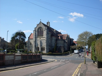
A mysterious building that turned out to be a church


Random patches of woodland


An unexpected view point

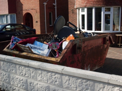
A skip full of random items

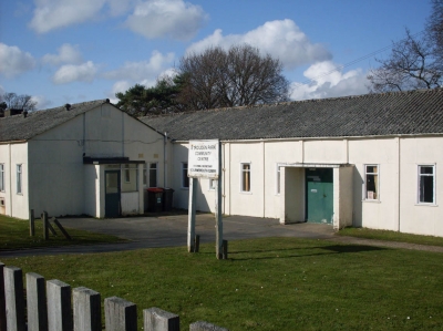
A community centre in need of some care and attention

Graffiti on a shed

After this trip, the whole top section of the map was looking impressively red.

Boscombe Sector
Contrary to its modern reputation, it's clear that Boscombe was once a nice area. If you look, you can see the shadows of a richer past. The houses, while they look a little run-down and in need of repair, are quite large.
I was surprised not to find more items of interest in this sector, It was mainly residential, with few random sights to photograph.
Highlights include:
A park I was not previously aware of


A cat

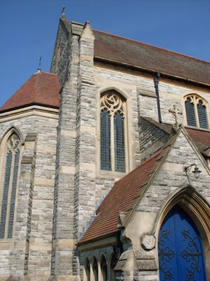
Churches, which are always the best buildings for some reason


An old car being thrown out with the rubbish

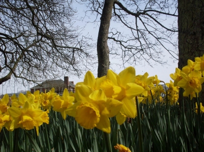
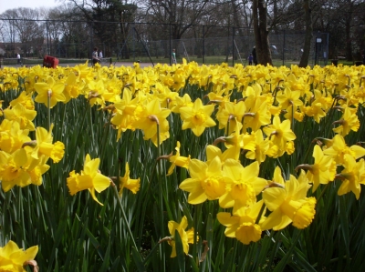
Daffodils by Shelley Manor


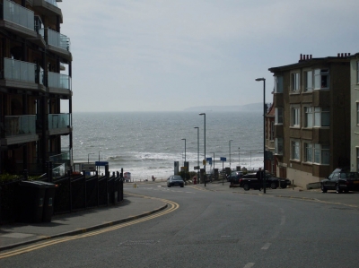
Sea views


After this trip, unsurprisingly, the map was even more red.

Charminster Sector
This was a mainly residential sector, as well as being the smallest of my sectors, so there was not too much of interest. Nevertheless, there were a few things.
Highlights include:
A patriotic household flying flags

Another church

Winton recreation ground

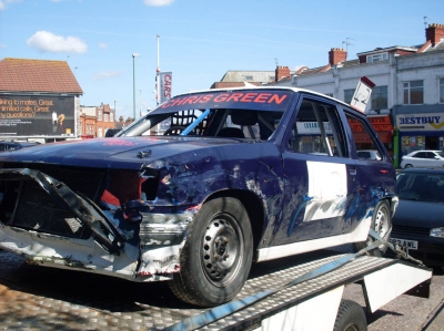
A wrecked car

The Tuk Tuk Thai, an internationally renowned restaurant

After this trip, there was even less white space. Not much to do now...
King's Park Sector
The largest of my map sectors, and the one which will probably take the longest time to cover.
Highlights include:
The park itself


More churches


Bournemouth Deaf Centre

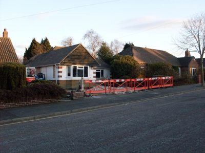
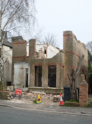
Demolition

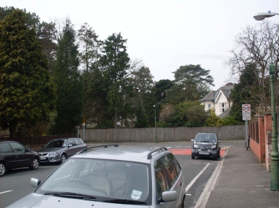
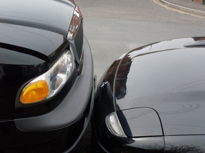
Bad parking

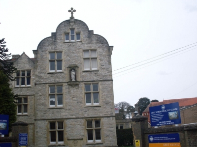
A nice building which isn't a church, for once; it's a school for chiropractors

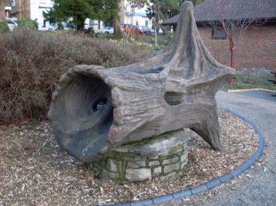
A weird sculpture

A painted missing dog poster. Apparently, it was never found...

After this sector, a large portion of white had been obliterated.

Empty Sector
This sector is so named because I knew absolutely nothing of what it contained before setting out to explore. As it turned out, it was pretty... well, empty. It contained almost nothing but residential streets. There were a few shops and interesting buildings, but there were no green spaces, and only one church.
Highlights include:
Pubs


A church

Shops

A language school

Not much else

And so, finally, I was finished.

It took a long time, but I now know far more about the surroundings of my house than I did previously. This is not a task I carried out for enjoyment. It was more about discovery, and the great sense of achievement on completing it. I'm not going to lie, it did get boring trudging up and down extremely similar streets. But then it suddenly became worth it when I stumbled across the most unexpected things.
Exploring your local area is something I would recommend to all of you. You needn't visit every single street, or have specific targets set out. Just start somewhere near where you live, but you are unfamiliar with, and take it as more of a dérive. You, like me, might be pleasantly surprised by some of the things you find.
The Map of My Area...
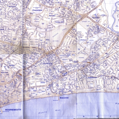
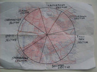
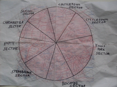
A map of the area around my house, stitched together after scanning in a few pages of a road map.
Sectors
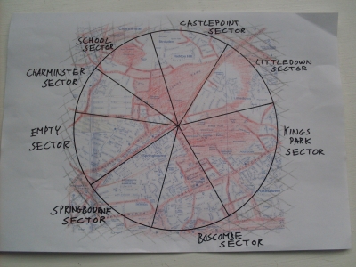
The area is a circle with a 1 mile radius about my house. Sectors are a way of giving myself clear, achievable targets each time I go out exploring.
Emergency Services Rendezvous Point
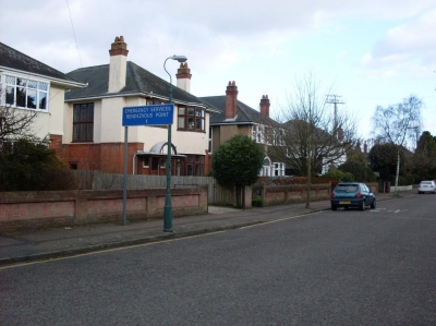
I set out on my first exploration trip, accompanied by my sister. We were going to explore the Littledown sector. In Thistlebarrow Road, presumaly in case of some massive accident in the football stadium, I found the first thing I counted as a point of interest.
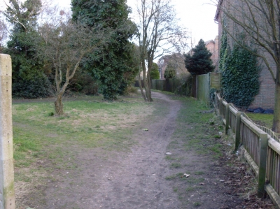
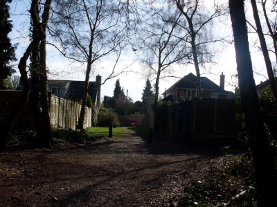
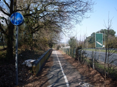
The path
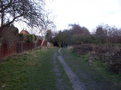
It goes all the way along the back fences of the gardens of Littledown Avenue, and proved to be a useful route.
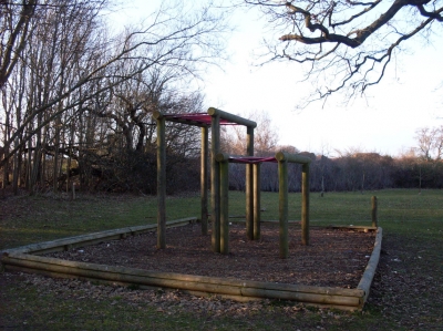
Giant hopscotch?
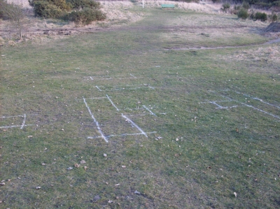
We crossed Harewood Avenue and headed towards Littledown sports centre by the usual route. Then we deviated from the familiar path. I'm not sure what's going on here, but giant hopscotch was the first thought that crossed my mind...
Straying from the path
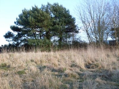
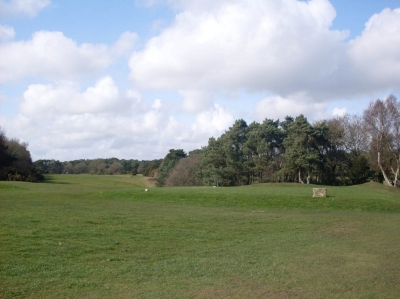
This took us up a hill. There was a lot more undeveloped land here than I'd previously thought.
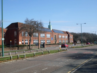
Avonbourne School
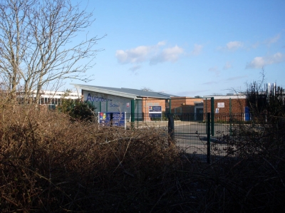
I'd never actually seen the buildings of this school before, although I've always known where the school is.
Portchester school
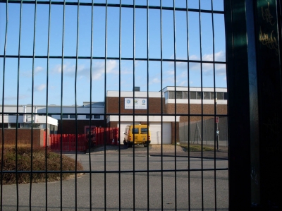
The two schools are actually right next to each other, and share facilities. I don't know why they don't just merge.
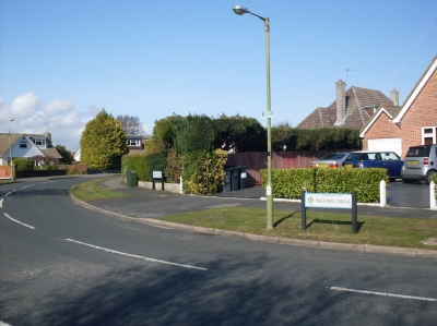
Sevenoaks Drive
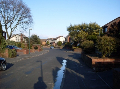
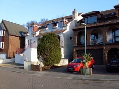
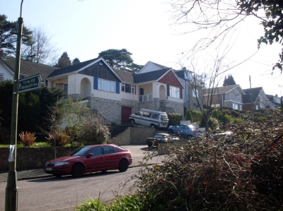
The houses here were a lot bigger than those in the streets immediately surrounding mine. It's obviously a more expensive area.
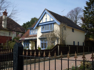
A nice design
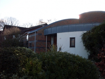
I liked the curved design of this house. I probably have't captured its best angle here.
A lookout point
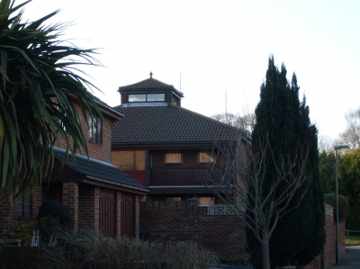
We encountered several interesting features on houses around here. I suppose the residents have enough money to design their own homes...
JPMorgan offices
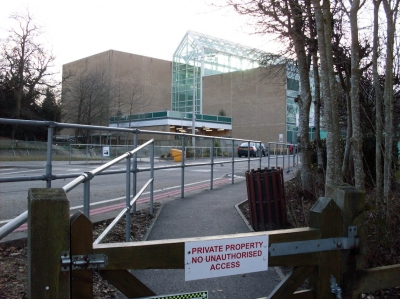
Private property. I didn't risk entering this time. Maybe I will at a later date...
So much for security...
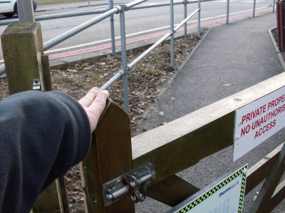
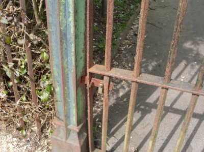
It was a very low gate. The gate wasn't locked. The bolt wasn't even at the right level to make locking possible. There was nobody around. Even so, I didn't venture very far in.
The end of the loop
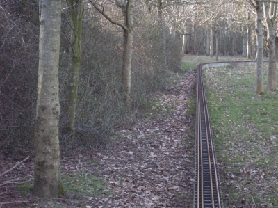
I think there were also rabbits in shot when I raised the camera. They all ran away.
More great security from JPMorgan
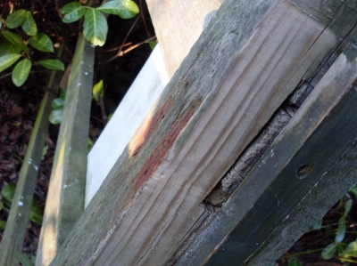
On a different side of the site, this gate didn't even have a bolt. It was easy for us to take a few steps inside.
Beyond the gate
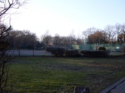
The workers at JPMorgan get their own personal tennis courts. I bet these were public courts once, as the offices are built on part of Littledown Park.
Harewood Gardens
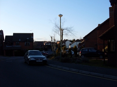
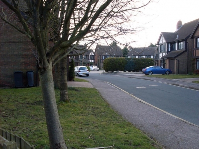
One of many cul-de-sacs off Harewood Crescent. This area is an expensive housing estate, without much variation in the house designs.
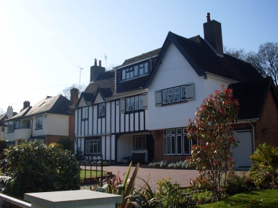
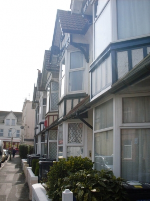
Mock tudor houses
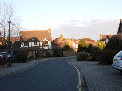
I quite like this style of architecture. The whole estate was made up of similarly designed houses.
Maze
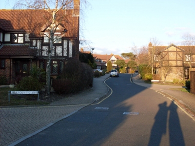
There were many small cul-de-sacs off the main stems, in a system similar to the branches of a tree.
Boulders
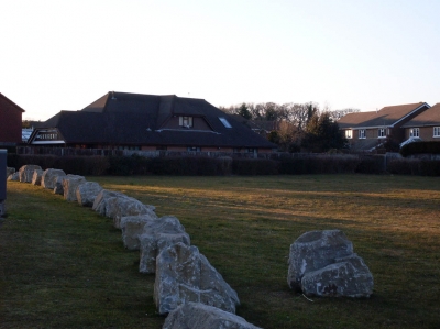
These have been put up around many open areas in Bournemouth, to keep groups of travellers from stopping there.
Surgery
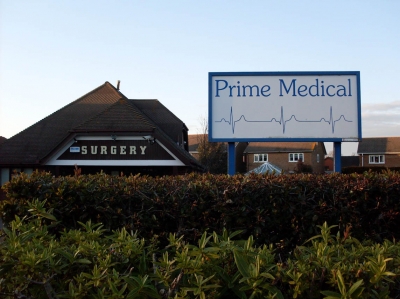
We stumbled across my local doctors' surgery. I always knew it was somewhere around here, but never knew quite where.
Map after the first trip
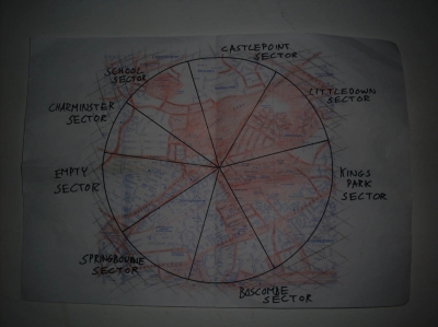
The obvious white patch is the location of the JPMorgan offices. Now, on to the next scetor...
Grants Avenue
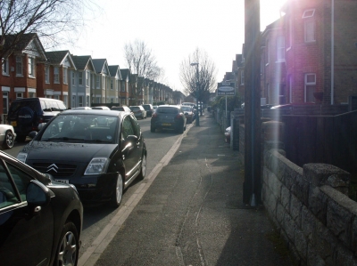
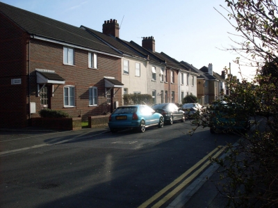
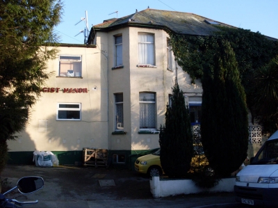
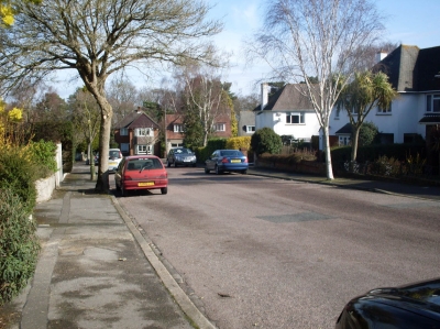
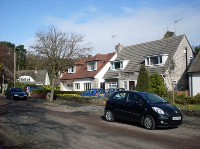
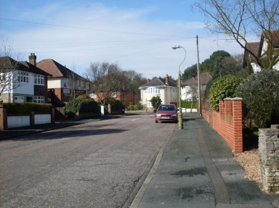
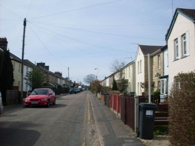
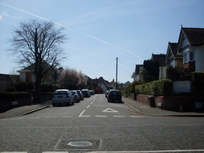
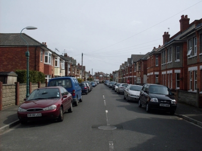
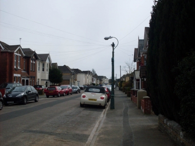
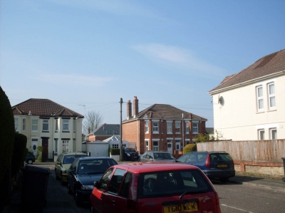
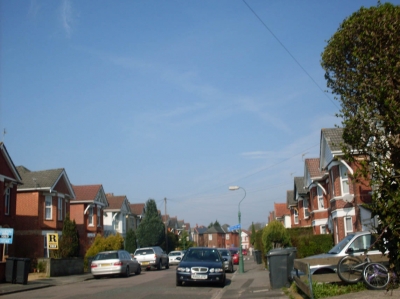
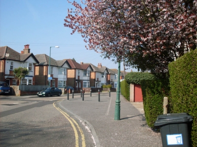
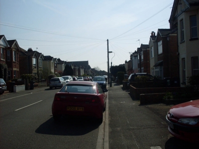
The start of the Springbourne Sector. At the moment it all looks quite similar to my road.
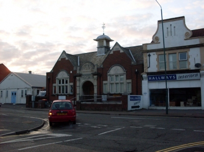
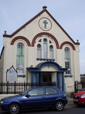
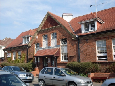
Southbourne Christian Centre
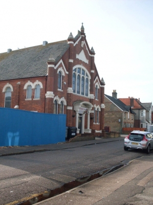
A nice building, although I don't find the purpose useful. Like churches in that respect.
Ashley Close
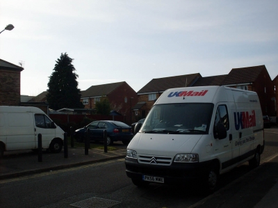
I had to loop back round to my house to replace the rubbish batteries in my camera. In doing so, I came through this road in the Boscombe Sector.
Empty factory
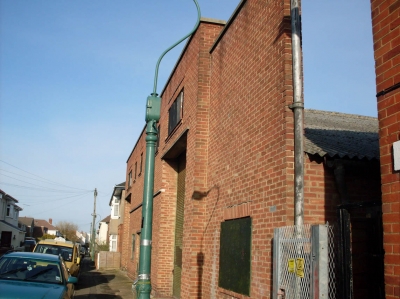
One of the yellow signs mentioned Schweppes. This probably isn't much to go on, but I have now convinced myself this was a lemonade factory.
Windham Road
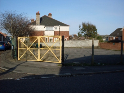
This was a private car park, with locked gates. Does one car really need all that space?
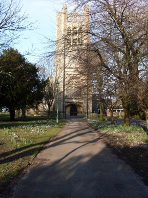
St Clement's Church
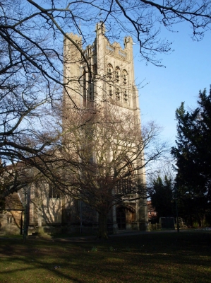
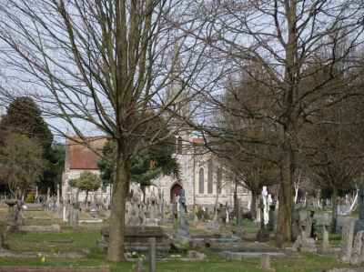
I came across this, and the surrounding churchyard. It gave me a nice peaceful place to rest.
Tree roundabout
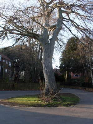
This was in a road that wasn't even marked on my map. I literally didn't know where I was. After a bit of wandering, I managed to loop back round to the church.
Hengist Road/Drummond Road
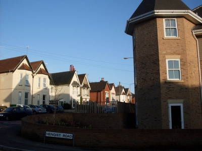
There are some bigger houses here, closer to Knyveton Road where all the hotels are.
Knyveton Road
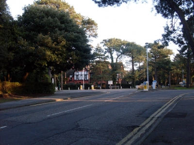
The road with all the large hotels on it is at the top of this hill off the roundabout.
Knyveton Gardens tennis courts
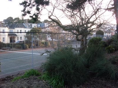
Badly laid out. Each court is completely surrounded by fences, but to get to court 3, you have to walk through courts 1 and 2.
A hotel on Frances Road
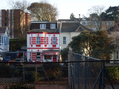
Not as grand as the ones on Knyveton Road, maybe, but still a nice-looking place.
Business park
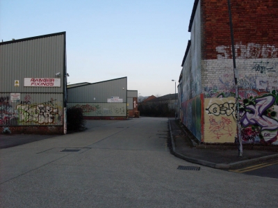
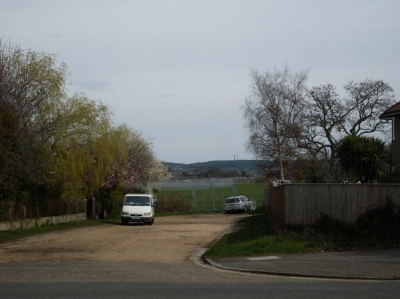
I never knew this was here. It looks abandoned, but I think that was just because it was a Sunday.
Capstone Place
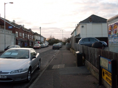
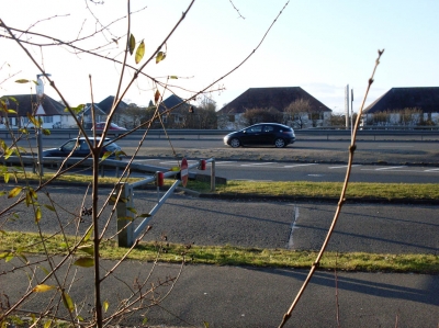
This is one of many roads that was cut in half by the Wessex Way. Once this would have been the same road as Capstone Road across the bypass.
Digger
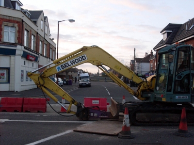
You can see here how the road lines up exactly with the one the other side of the Wessex Way.
Map after the second trip
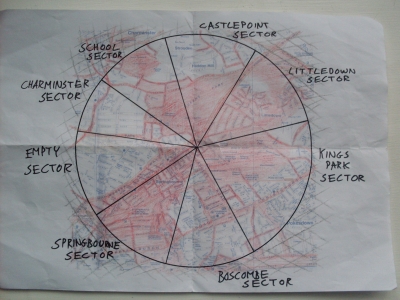
I slightly spilled over into the Empty Sector. The white section on the other border is more easily accessed from the Boscombe Sector, so will be covered when I do that. Now, on to the next sector...
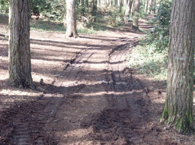
Muddy path
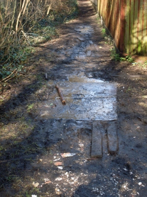
Welcome to the School Sector. These paths around school can get very muddy. It rained very hard the day before I did this. Being the sector which contains my walk to school, there are going to be many place I already know, which won't be covered. I have plans for some of these places in the future.
Brackendale Road
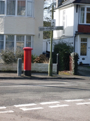
More familiar territory. This is the postbox I usually use when posting miscellaneous items around the world to other SFZerians.
The corner of Queen's Park
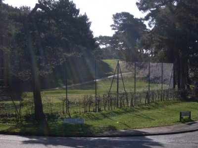
Queen's Park is a favourite local location of mine that I'm not covering in this task, because I already know it well.
No taxis beyond this point
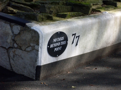
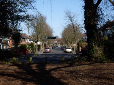
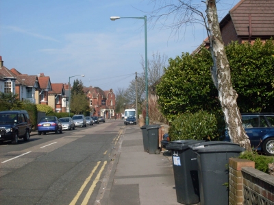
I always knew posh people lived along here. I think this shows a little too much snobbery...
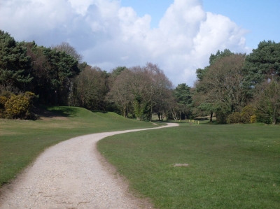
A useful path
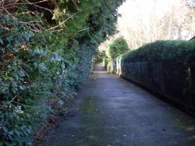
I had no idea where it was going, but I thought it would be close enough to where I was heading.
Map after the third trip
It's starting to look a lot redder than it was to start with. Now, on to the next sector...
Burnt car
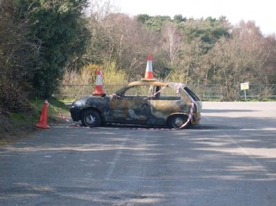
My travels into the Castlepoint Sector start by walking through Queen's Park. This car has been in the Queen's Park car park a while. I don't know the story behind it, but it makes an interesting start to the trip.
Golfers
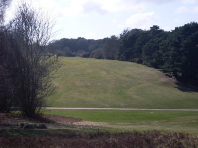
There are several golfers out today. It's a sunny bank holiday Monday, so I suppose that's understandable.
Across the Wessex Way
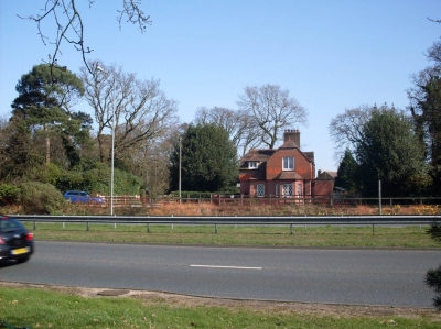
According to my map, this house across the Wessex Way could be called Littledown Lodge. Behind the trees to the left of it the offices of JPMorgan hide. Now I've looked at the area from all possible sides, I have decided I can colour in the JPMorgan gap in the Littledown Sector as well when I get home.
Longbarrow Close
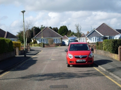
This road is actually off the edge of the sector, but it was on the best route to take.
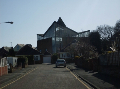
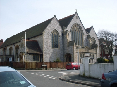
Mysterious building
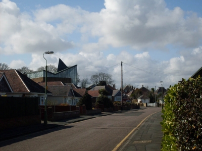
I found myself wondering what the hell it was. I'm sure I've seen it before, but I've never investigated it before.
I'm a bit disappointed
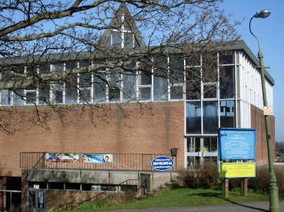
Turns out it's one of those modern churches. One that can't be bothered to be a traditional church building. But Jesus welcomes all, apparently, which is why no-one was around and it was locked up.
Shed
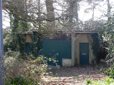
I was about to go down Sandy Mead Road when I saw that this shed was on accessible land. I took a look.
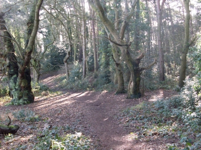
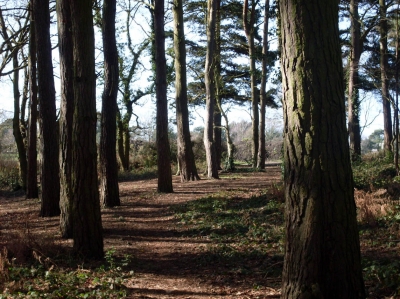
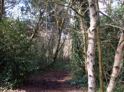
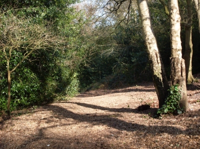
Path through the trees
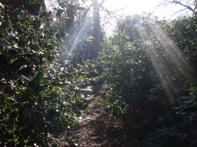
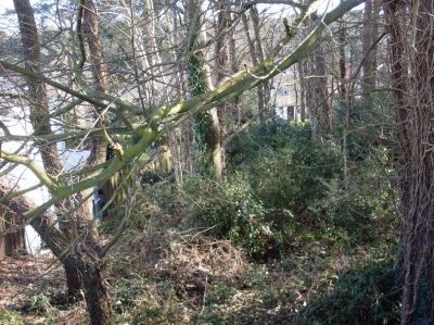
This was just a small block of forest in a rectangle between four roads. It was quite nice to find this kind of natural haven in the middle of the suburbs.
Electricity
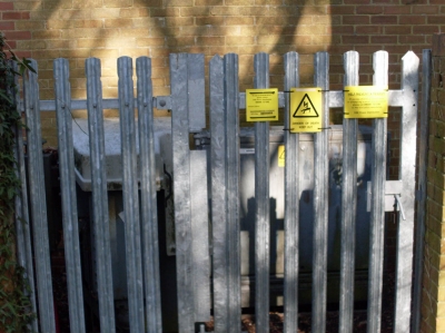
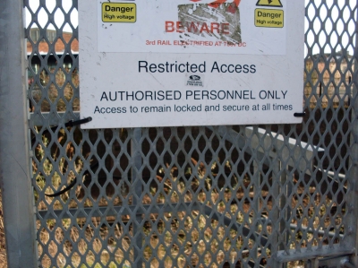
When I looped back round, I found that the shed had something to do with the area's electricity supply, as I'd thought.
Sandy Mead Road
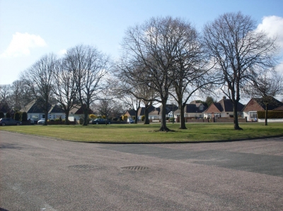
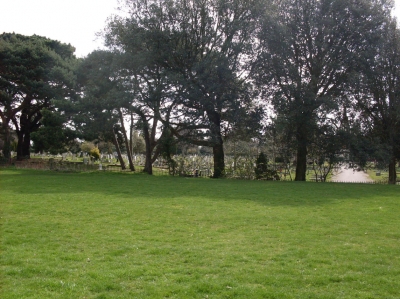
This road had a green space in the middle. I am a big fan of green areas in urban landscapes.
Road with a view
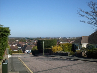
This gave me a wonderful view across this part of the town. You can see the hospital and the Littledown sports centre among the rooftops.
Another square of woodland
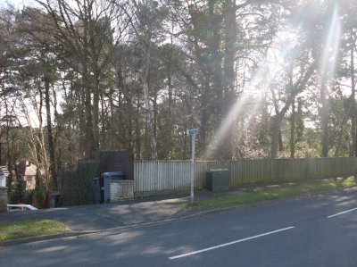
This one seemed completely pointless. There were no entrances that I could see, and it wasn't attached to any of the surrounding gardens. It's just a small blank space on the toen planners' map.
Summerbee School
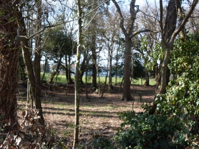
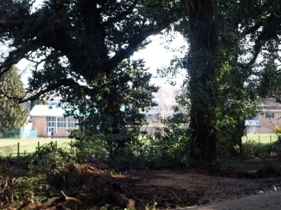
After a while, I come across the same school I walked past in the School Sector, but another side.
A park
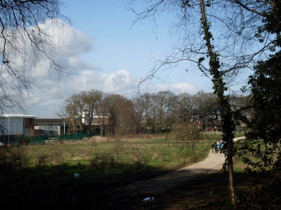
Descibed as playing fields on my map, but it doesn't look like it. Also, the bus depot and museum marked on my map don't exist any more. The building on the left of this picture are on the site, part of the Castlepoint shopping centre.
Graffiti
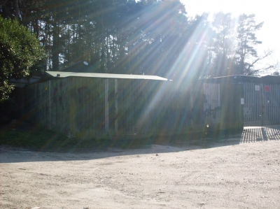
Even Queen's Park is not immune to the attacks of political graffiti. It says something along the lines of 'Do not pay carbon tax & say no to...' I couldn't read the last bit.
Map after the fourth trip
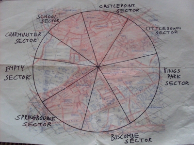
The top of the circle is looking nicely red. Now, on to the next sector...
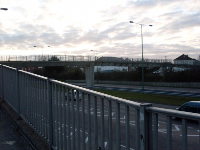
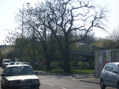
Railway bridge
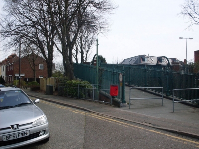
I always knew there was a bridge across the railway around here somewhere, but I've never crossed it before.
Park
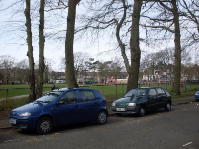
I came across a large green square surrounded by houses. It looks like Boscombe was once a more posh area than it is now.
Cat
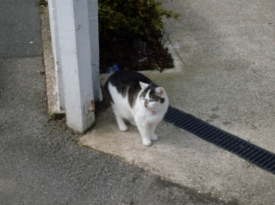
Not the first cat I've come across on my travels, but Boscombe was proving to be a less interesting sector than the others, so it's the first I've photographed.
Towards the church
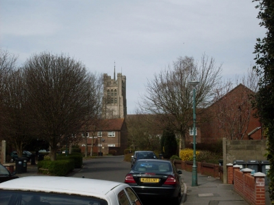
I ended up approaching St Clement's Church, in the Springbourne Sector, from the other direction.
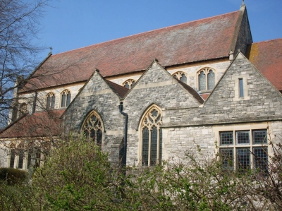
Another church
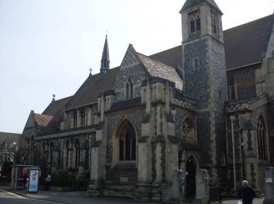
I came to Christchurch Road, which I am familiar with. It has some interesting tings along it, such as this church, which somehow don't seem to match the rest of the scenery.
Old car
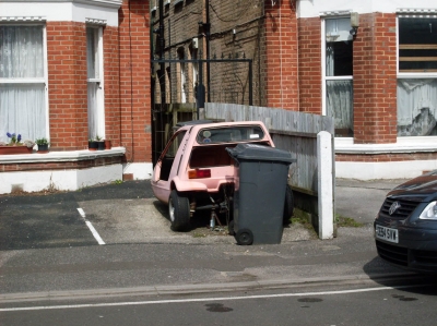
I wonder if the bin men would actually take this away. I'm guessing the owners don't want it...
Second floor balconies
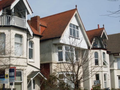
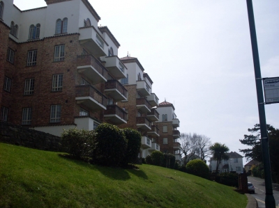
The presense of these features on houses shows that Boscombe used to be a nicer area than it is considered today.
Pink house
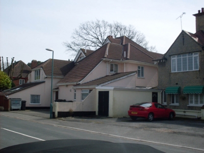
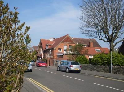
As usual, there were many different houses around the sector. It got a little boring just walking up roads of houses and nothing else, but every now and then an odd house drew my attention.
Shelley Manor
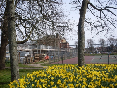
I walked past Shelley Manor. They have actually started building work next to it now. I still don't know what's going to happen to my club's tennis courts, but at least they're getting some use at the moment.
Almost on the clifftop
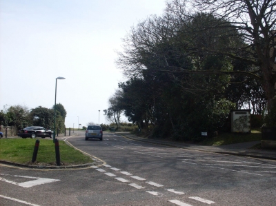
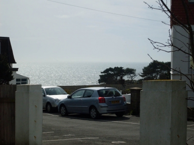
Within a mile of my house, you can almost get views over to the Isle of Wight. Another couple of hundred metres and I would've had a great view. But I've photographed that view before. I had a task to do.
Large chimney
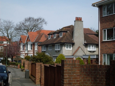
By this point, I had walked past many houses and not come across many other interesting things.
Owls Road
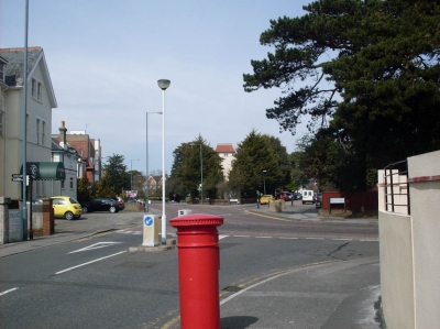
I realised when I came to this point that I already knew the roads up here, so less exploration was needed than I's first thought.
Emerging from the underpass
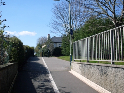
I start my journey through the Charminster Sector, the smallest of my sectors, by walking through the underpass I usually go through on the way to school. But when I get to the other end, I turn the other way.
Footpath
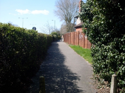
This goes alongside the Wessex Way and past the ends of roads that got chopped in two by the bypass.
Queen's Park corner
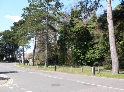
These streets were once in a peaceful area, a few minutes from Queen's Park. The bypass made it less peaceful, of course. When I think about it, my road would also once have been this close to the edge of the park.
Wessex Way
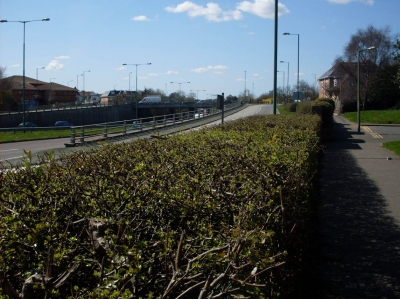
It occured to me that they must have dug out quite a bit of earth to make this road. I wonder where it all went...
Colour
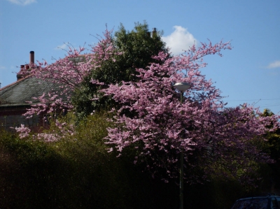
When the scenery around me had been the same for a while, any sign of different colour was welcome.
Winton Recreation Ground
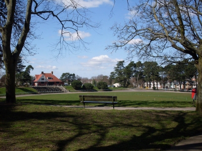
Right on the edge of my 1 mile circle is a place I've been before. One of my friends plays tennis here, and I've played him (badly) a couple of times.
Charminster Road
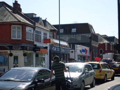
The main road in Charminster, with shops and restaurants, including the Tuk Tuk Thai, which has been in a task before...
Fiveways
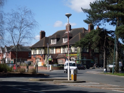
I am now overlapping with the School Sector as I walk along Queen's Park Avenue and Howard Road.
AFC Bournemouth
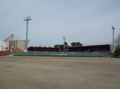
I start the King's Park sector by walking through the park itself. This is home to the stadium of the local football team, who play in a minor league. The supporters refuse to use the stadium car park, and our road always gets packed with cars parking where they're not meant to when the team play at home.
Sports fields
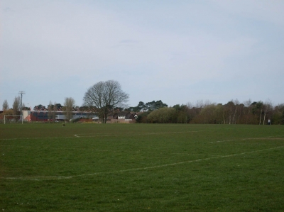
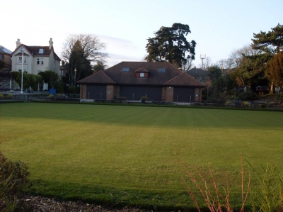
King's park is a sport centre in Bournemouth. As well as the football stadium, it contains far more civilised sporting arenas; the athletics stadium and a cricket pavilion. And they want to build an ice rink too, which is, by the way, a stupid idea.
Waltham Road
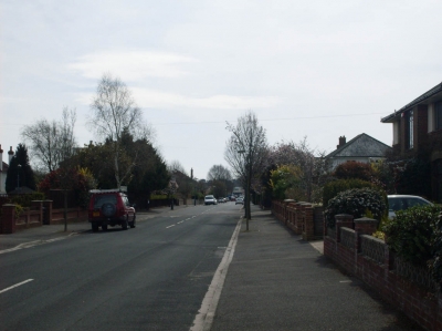
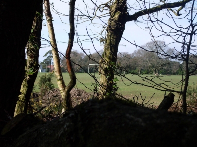
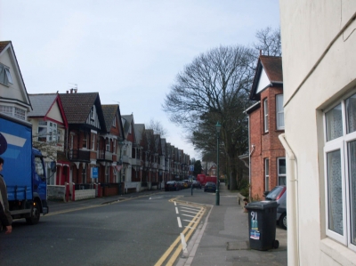
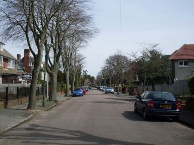
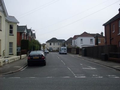
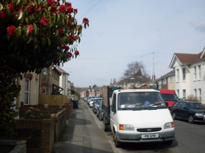
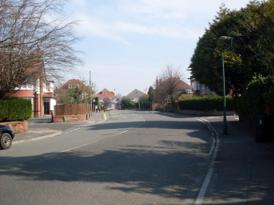
The sector starts to turn into an area of normal residential streets. I was hoping to find something special soon...
Dead End
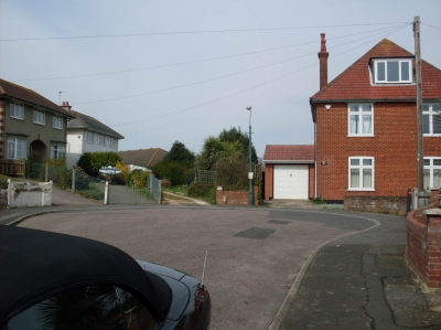
I'd got so used to useful paths heading in the direction I want to go that the prospect of an actual dead end never really occured to me...
Kings Park Central Drive
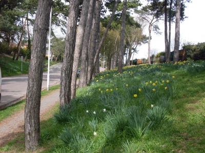
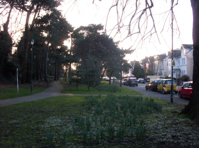
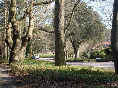
A road into King's Park, lined with trees and banks of grass with daffodils. A nice place to walk.
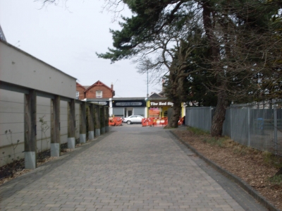
Around the back
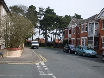
I found a narrow alley around the back of the church, which took me out into Spurgeon Road.
Angles
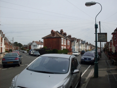
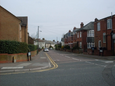
The nice angle the two roads make where they meet allowed me to take a photo down both at once.
Bournemouth Deaf Centre
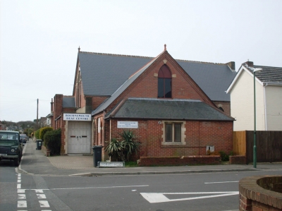
I stumbled across this on the corner of Morley and Harcourt Roads. I never knew such a place existed...
Queensland Road
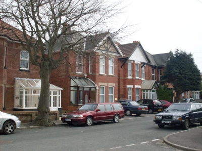
When we were looking for a house in Bournemouth, the one with the brown porch was one of our main contenders.
Exterior decoration
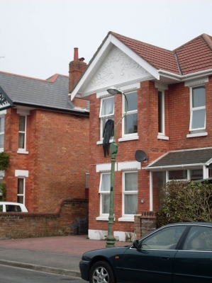
I suppose if you live in a first floor flat this is the easiest way to get it dry...
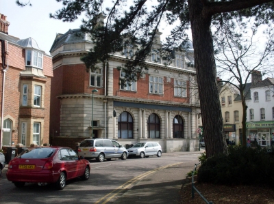
Nice building
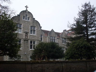
This building on Parkwood Road caught my attention, and I altered my route to take a closer look at it sooner.
St. James Square
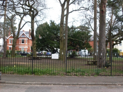
Just up the road from the chiropractors was this area of green space, which of course I liked.
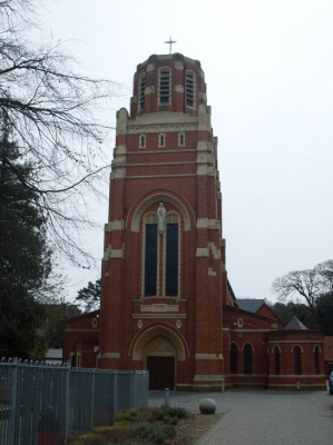
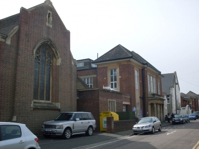
Red brick church
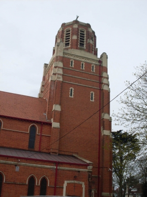
About a hundred metres away from the square was this nice church. It seems I've found the best bit of the sector, with places of interest so close together.
What the hell is that?
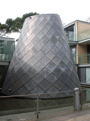
By the path was a modern apartment building, with this weird sculpture in a courtyard outside it.
Wickham Road
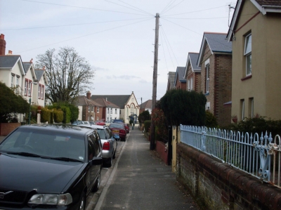
I headed for the interesting-looking building at the end, which by now I instincively knew was a church. Nearly all eye-catching buildings in Britain are churches. It seems a shame to me, as a non-religious person, that some of them aren't put to another use...
Grasmere Road
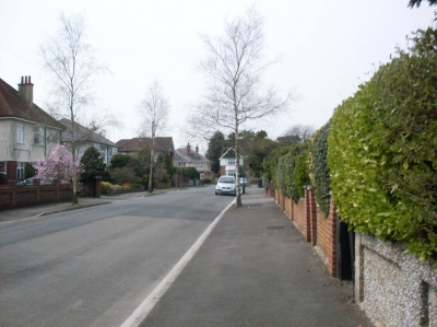
I have no idea why it's called Grasmere Road. I've been to Grasmere. It's several hundred miles north in the Lake District, and nothing about this road reminds me of it.
Bournemouth Centre for Community Arts
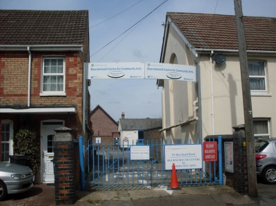
A small portacabin, by the looks of it, on Haviland Road. I've never heard of it before so obviously, like many things in Bournemouth, it doesn't get advertised enough.
Missing
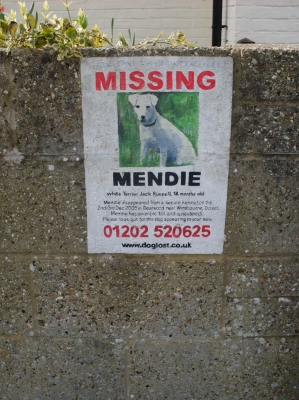
This is quite cool. Instead of using those easily-destroyed paper posters, someone has painted a missing dog sign on a wall. It's been there since 2005, so it's obviously a better solution than paper. I should point out that Bearwood, where the dog wnet missing, is several miles away. It was never found, apparently... http://www.doglost.co.uk/Page.aspx?data=pzp8JrdCfxmOYLL7ThMH8cgDIBGNb_3527O0VXDwo%2f3iFchKHcq%2fHbB3s168Wk_352AVtF
Funfair
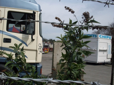
On a usually deserted area of land on my way home, a funfair has been set up for the Easter holidays. Looks a bit closed at the moment...
A nice tree
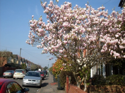
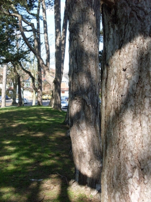
As the area seems to be entirely residential so far, I start photographing trees again on Chatsworth Road.
Shelbourne Road
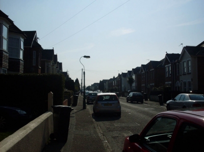
On this road somewhere is the first house we ever looked round when we started househunting in Bournemouth. Turned out it was one of the best, but we didn't have anything to compare it to at the time...
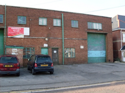
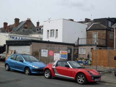
Garage
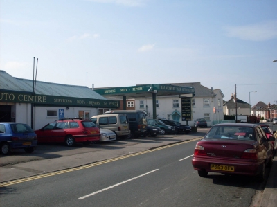
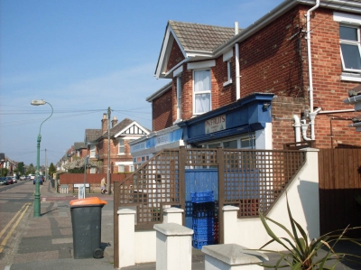
Among the residential streets there are a few businesses. I still haven't found anything extremely interesting, but these businesses lend a bit of variety to the area.
Lowther Road
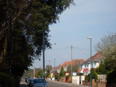
The advertising balloon is tethered over a garage on one of the main roads nearby, I think. I've seen it before.
Wasteland
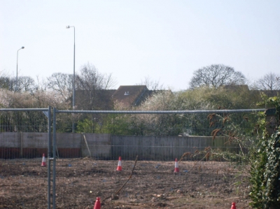
Something has been demolished around here, and they obviously haven't thought of anything to replace it yet...
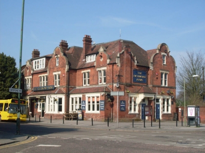
The Brunswick
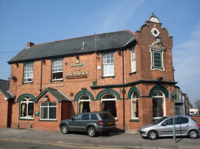
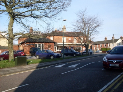
I found this pub among the streets. This sector has more pubs than churches. I'm not actually sure if that's the usual trend or not...
27 vote(s)
- Haberley Mead
- GYØ Ben
- El Neil
- teucer
- Tøm
- gh◌st ᵰⱥ₥ing
- Optical Dave
- Lincøln
- done
- Fealix
- Electra Fairford
- Spidere
- Samantha
- Picø ҉ ØwO
- saille is planting praxis
- Greta Heiss
- Brock Dubbels
- rongo rongo
- anna one
- susy derkins
- Fiona
- Ben Yamiin
- Gerwin
- APR dreamlands
- N Mutans
- Kommando
- Amoeba Man
Terms
(none yet)6 comment(s)
Well done sir you really got about everywhere!
I like your method of the 1-mile radius and sectors.
A few weeks ago, I walked several blocks on a street near my house, and found myself in a schoolyard that I'd never seen before. Then, I ran into a coworker who lives on that street. Your completion does a great job of showing how many unexplored places are right near home.
you have an awfully large number of churches near you.





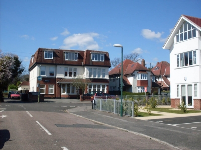
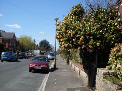
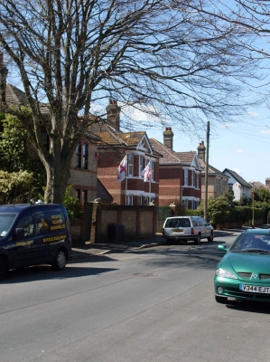
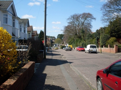


That seems to be a nice town you're living in. Also I find that completion inspiring. Now I wanna do this task as well!!