Object Annotation by Burn Unit
May 1st, 2007 10:23 AM / Location: 44.983195,-93.25916This is a revised edit of this praxis. Full length original version exists in the text file below.
one reason I love it
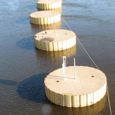
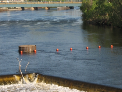
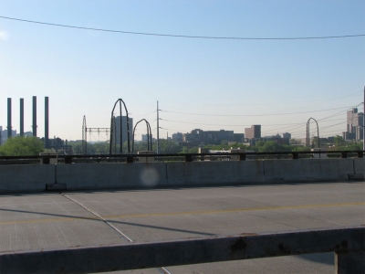
the view from one waypoint always draws my curiosity to these round things. [this is an eyecatching feature image (experimental) ]
605/162
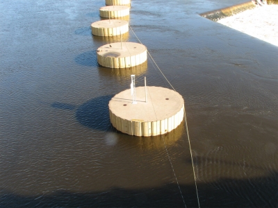
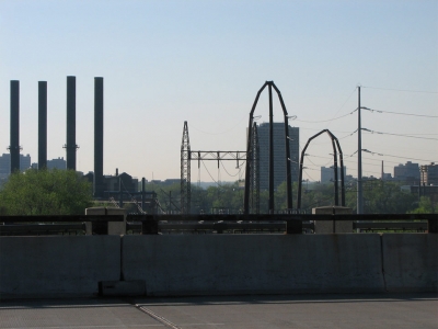
I still don't really know what those cylinders are. I researched it on the internet, but the internet was not helpful. There's a goose on one of them. Gawsh I love this weather! Everything's so bright and pleasant, and the sun shines just so!
492/272

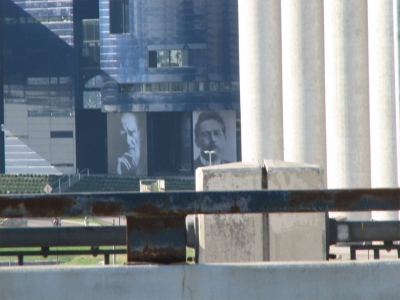
Mill City Museum is that chopped out building over there. The dark blue with the weird outcroppings and tall spire/stack behind the Gold Medal building is The Guthrie Theater, possibly the most titanic monolithic stage theater I've ever seen. It's awesome, yet frightening. This is a crazy-developing part of town right now.
426/349
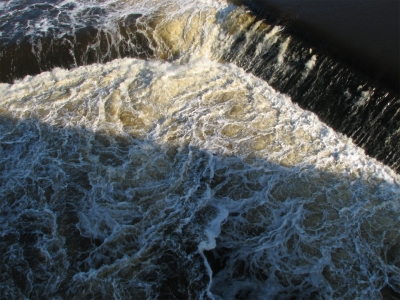
This is some of the hypnotic water I'm talking about. Also kinda yucky. For me, this is perceptually about halfway across.
426/349 tag
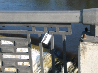
Here's one of the tags, zip tied to the bridge's metal. I got to thinking that people might be creeped out by these. People are silly that way. Too late, of course, I was halfway across!
426/349 - to - 347/428
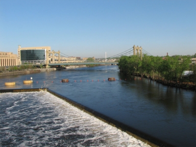
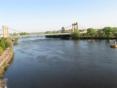
This is actually in transit from one waypoint to another. Nicollet Island is on the right.
347/428
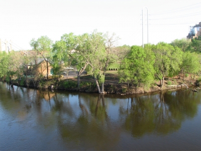
Here's Nicollet Island's downstream end. Check out our treasure island journey to see more about that wonderful place.
230/541
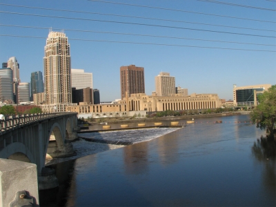
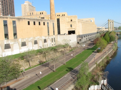
This is from one of the little cutout spots that curves out from the bridge proper, a kind of turnaround or scenic overlook. The full length and glory of the post office (that long sandstone building with the dark rectangular windows) is visible here, as are other features like the beginning of the falls/dam/locks.
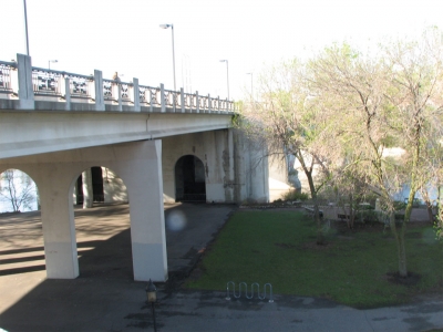
112/655
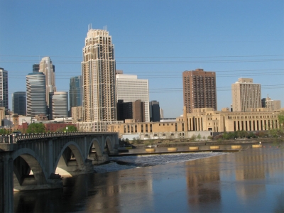
I thought might have gotten the two cutout pix mixed up, but this one I think affords both a slightly better look at the underside of the bridge, and I think that's the other cutout (230/541) on the left side of the picture.
35/733
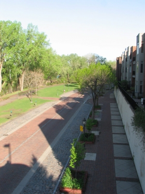
I actually went down the stairs to take this photo, but I put the annotation tag up at the top of the stairs. This is St. Anthony Main. Those are some condos on the right. There's great fun to be had down here...
My annotations
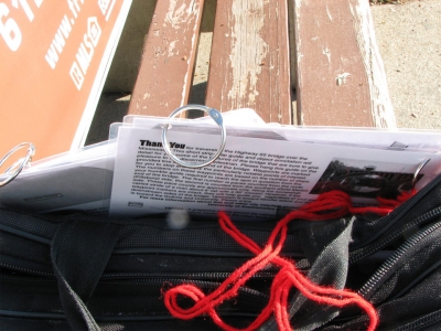
Here's the laminated maps with the ring binders (for ease of hanging) and the red thread. Just before I hung these, a late-middle-aged woman was walking by and I said "I've made a walking guide to the bridge! Would you like one?" The answer was, of course, a harsh "no!" and an accelerated stride.
Installed annotations
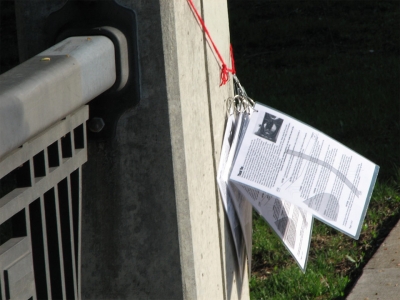
Here's the laminated annotations hanging from the thread on the first stanchion of the bridge. Five copies on the north side, five copies on the south.
full-proof.rtf
March 2008: I'm trying an experiment: radically shortening the text of the proof to see who notices, and appending the full text here.
15 vote(s)

Ziggy C.
5
Ohrlyeh Totenkinder
5
Cthulhu Kitty
5
Hemingway Kat
5
lara black
5
Blue
5
Nora Sawyer
5
Heatherlynn
5
Bex.
5
Tøm
5
Lincøln
5
done
5
Ben Whitehouse
1
Waldo Cheerio
5
mean jeannine
Terms
everyoneshouldsee2 comment(s)
After four days, had the guides moved?


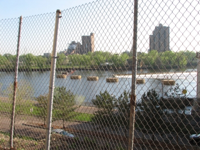


Well see, JTony--and I think if you read thru this all the way including the rich text file containing the older edits you'll notice that--there's also a certain amount of disinclination to self-promote. This has a cultural heritage root of course.